
Blanco River Aquifer Assessment Tool
Project Summary
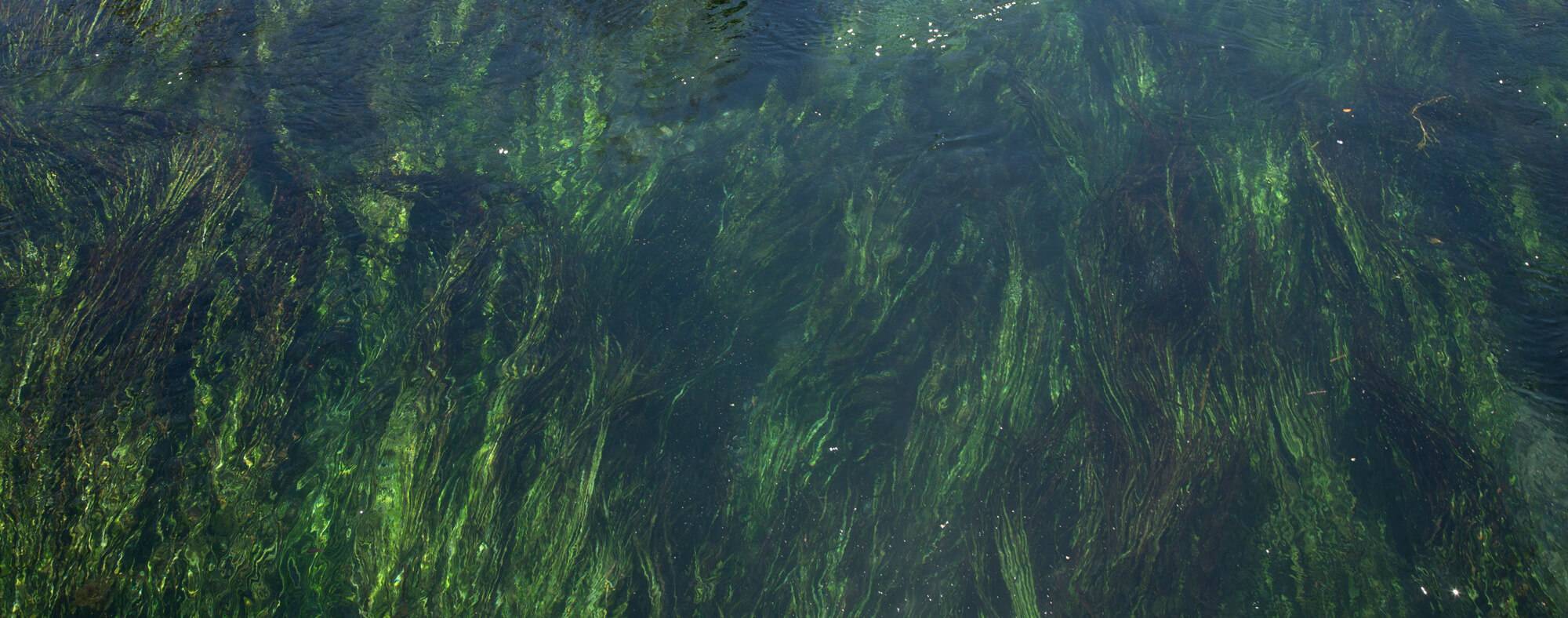
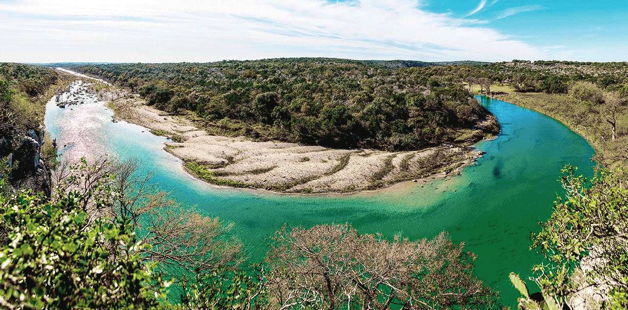
The Blanco River watershed spans five counties in the Texas Hill Country and supplies water to some of the fastest growing regions in Texas. The River is both fed by and feeds the Trinity and Edwards Aquifers, blurring the line between groundwater and surface water. It is also source of water to iconic springs such as Pleasant Valley Springs, Jacobs Well Spring and San Marcos Springs.
There are several impeding threats to the health of the Blanco River and the aquifers it overlies, including a growing population with increased demands on water resources, rapid residential and commercial development bringing increased impervious cover to the watershed and changing weather patterns. How might this increased pumping and drought affect springs and baseflow in the Blanco River and its tributaries?
Working with the Southwest Research Institute and various stakeholders and funders, the Meadows Center led an effort to develop the Blanco River Aquifer Tool for Water and Understanding Resiliency and Sustainability Trends (BRATWURST). The first phase for the project was to develop a conceptual model that describes how the Blanco River watershed interacts with the underlying Trinity and Edwards Aquifer. A conceptual model is our best idea of how an aquifer works and the associated supporting information, including geology, depths, groundwater levels, pumping amounts, climatology, river and spring flows, and aquifer properties.
The conceptual model will serve as the blueprint for a comprehensive surface-water/groundwater numerical model, which will be developed in Phase 2 of the project. The numerical model will include the relevant geologic and hydrologic parameters, the fault zones and interactions with the Blanco River as well as the connection between the Trinity Aquifer where it is exposed at land surface and the Trinity Aquifer where it is located below the Edwards Aquifer and other younger formations.
Once developed, the numerical model will be a valuable tool that policymakers and groundwater conservation districts can use to effectively manage water resources and plan for increased water demand. The tool will provide a means for examining and optimizing water management practices in respect to expected increases in groundwater pumping and changes in long-term average weather, or climate.
Objectives
-
Phase 1: Developing a conceptual model of the hydrogeology of the Blanco River watershed
Phase I work includes compiling and analyzing existing data and information to develop a conceptual model of the hydrogeology of the Blanco River watershed. We will also identify gaps in data or additional information needed to develop a credible conceptual model during this phase. Tasks associated with Phase I include:
- Refine objectives of the investigation/study with technical stakeholders.
- Delineate candidate watershed boundaries and define study domain.
- Compile existing documentation on watershed geology and hydrology.
- Compile water elevations at wells and springs.
- Compile a database of surface-water occurrence, flow rates, and gain/loss measurements.
- Compile spring discharge, stream flow, and pumping data.
- Compile spring and well water-chemistry data.
- Develop an ArcGIS project of watershed.
- Compile precipitation data.
- Evaluate and identify recharge mechanisms.
- Assemble a preliminary hydrostratigraphic-framework model.
- Assign boundary conditions to the model domain.
- Calculate a first-order water budget.
-
Phase 2: Developing a calibrated, integrated hydrologic model
The outcome of the Phase II will be a calibrated, integrated hydrologic model. Questions that could be addressed by the model could include:
- What are the impacts to surface water and groundwater from current and future development within the basin?
- What is a sustainable yield from the aquifer that will maintain adequate environmental flows?
- Is the Middle Trinity aquifer already oversubscribed by existing groundwater pumping permits?
- What is the sensitivity of spring flow from groundwater withdrawals in certain areas of the basin?
- What are the projected impacts of large pumping centers on water levels, baseflow, and springs in the area?
- Will changes in weather patterns (i.e., precipitation and temperature) and water-management scenarios (i.e., groundwater extraction for local or external uses) affect surface water and groundwater in light of the complex relationship between the Blanco River and the underlying aquifers.
- Will increased development impact or affect the environmental health of flow in the Blanco River and its tributaries and discharge of the major springs, including Pleasant Valley Springs, Jacobs Well Spring, San Marcos Springs, and Barton Springs.
- How does water in the river (including treated wastewater) interact with underlying aquifers? Where does this water go?
Project Resources
Project Lead

Robert Mace, Ph.D., P.G.
Executive Director & Chief Water Policy Officer
Professor of Practice, Department of Geography
(512) 245-6021
rem142@txstate.edu
Faculty Profile
Funders
Funding for this project was provided by the Edwards Aquifer Authority, Rushing River Foundation, Greater Houston Community Foundation, Peter and Mary Faye Way, Needmore River Ranch LLC, Electro Purification, Barton Springs Edwards Aquifer Conservation District, Counterweight Davit Foundation, Tito’s Handmade Vodka, the Way Family Foundation, Blanco-Pedernales Groundwater Conservation District and Hays-Trinity Groundwater Conservation District.